TE525
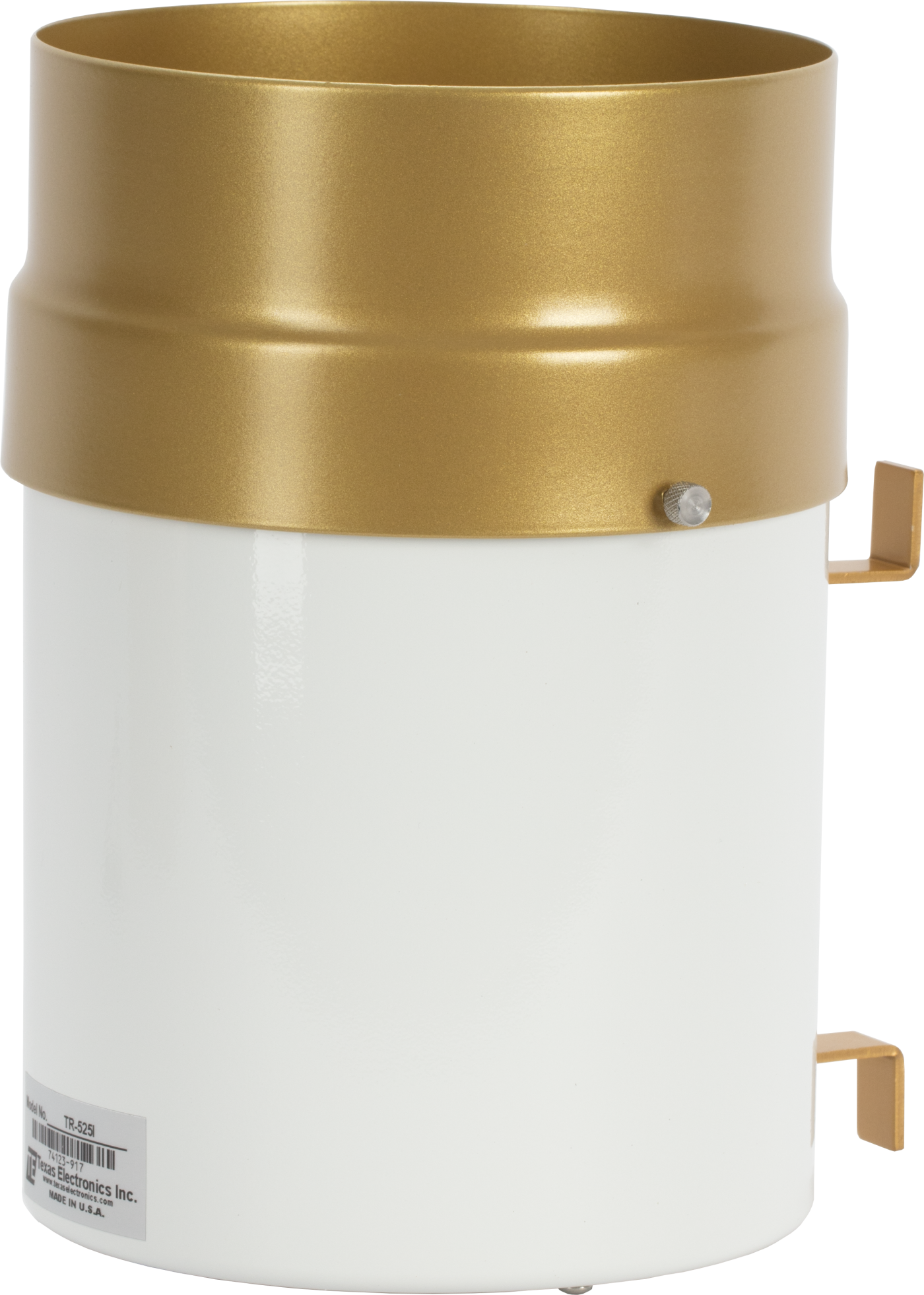
TE525
OrderableConfigurableRain Gage with 6 in. Orifice
Lowest cost.
Pricing
Configuration
Sign in for option pricing- w/5m (17ft) per Sensor -PF w/Ferrules on Wires15cm
- w/10m (33ft) per Sensor -PF w/Ferrules on Wires15cm
- TE525 - L Texas Electronics Rain Gage 0.01 inch (0.254mm) Tip w / 6 inch Orifice w/20m (66ft) per Sensor w/Ferrules on WiresTE525-20m
- TE525 - L Texas Electronics Rain Gage 0.01 inch (0.254mm) Tip w / 6 inch Orifice w/30m (100ft) per Sensor w/Ferrules on WiresTE525-30m
Select a configuration to add to your quote
- Model:
- TE525
- Item Number:
- 45209
- Warranty:
- 3 years
- Lead time:
- 14 days
Overview
The TE525, manufactured by Texas Electronics, has a 6 in. orifice and measures rainfall in 0.01 in. increments. It is compatible with all Campbell Scientific data loggers, and it is widely used in environmental monitoring applications.
Technical Description
The TE525 funnels precipitation into a bucket mechanism that tips when filled to its calibrated level. A magnet attached to the tipping mechanism actuates a switch as the bucket tips. The momentary switch closure is counted by the pulse-counting circuitry of our data loggers.
Benefits
- Accuracy is ±1 percent at rates up to 1 in./hr
- Compatible with most Campbell Scientific data loggers
- High precision—tips at 0.01-in. increments
Specifications
- Sensor Type
- Tipping bucket with magnetic reed switch
- Material
- Anodized aluminum
- Operating Temperature Range
- 0° to 50°C
- Resolution
- 1 tip
- Volume per Tip
- 4.73 ml/tip
(0.16 fl. oz/tip)
- Rainfall per Tip
- 0.254 mm
(0.01 in.)
- Measurement Uncertainty
- 1.0%
up to 50 mm/h (2 in./h)
- Cable Type
- 2-conductor shielded
- Orifice Diameter
- 15.4 cm
(6.06 in.)
- Height
- 24.1 cm
(9.5 in.)
- Cable Weight
- 0.1 kg (0.2 lb) per 3.05 m (10 ft) length
- Tipping Bucket Weight
- 0.9 kg
(2.0 lb)
Related Resources
Case Studies

Puerto Rico Landslide Monitoring Network
Monitoring landslide risk, prompting early evacuation
Puerto Rico
April 15, 2025
View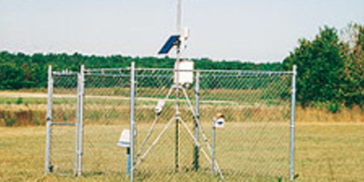
New Jersey: Water-Resource Management and Weather Monitoring
Weather and water quality stations monitor parameters for irrigation planning and water conservation.
New Jersey, USA
August 7, 2009
View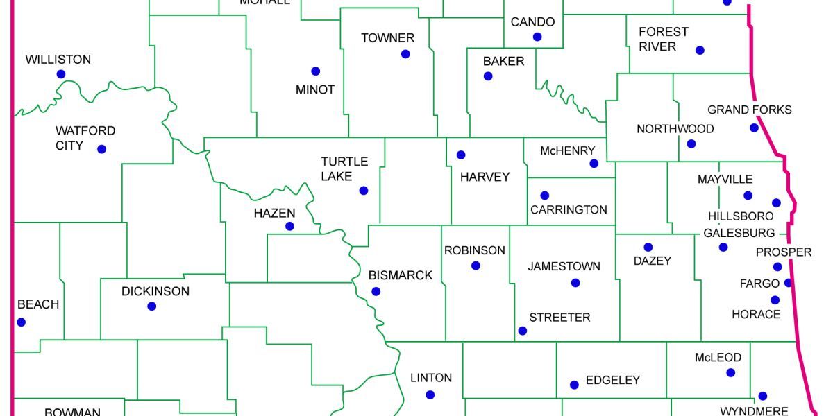
North Dakota Agricultural Weather Network
A state-wide weather station network that provides data for agricultural applications such as pest control and evapotranspiration
North Dakota, USA
October 17, 2011
View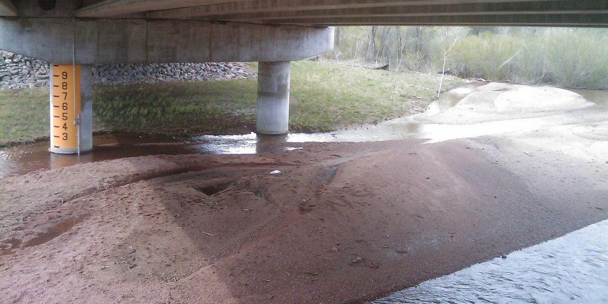
Colorado: RWIS Data from ALERT System
Integration of RWIS into ALERT network
Douglas County, Colorado
November 14, 2011
View- View all case studies